
About
Built from the work, not from a market study.
Peregrine exists because the same problem kept turning up on real projects. The information needed to make a decision existed, and it was never in one place at the same time.
So we built the thing that puts it in one place, alongside the consulting work, funded out of our own pocket. It gets used on client projects because it was built on client projects.
Why we exist
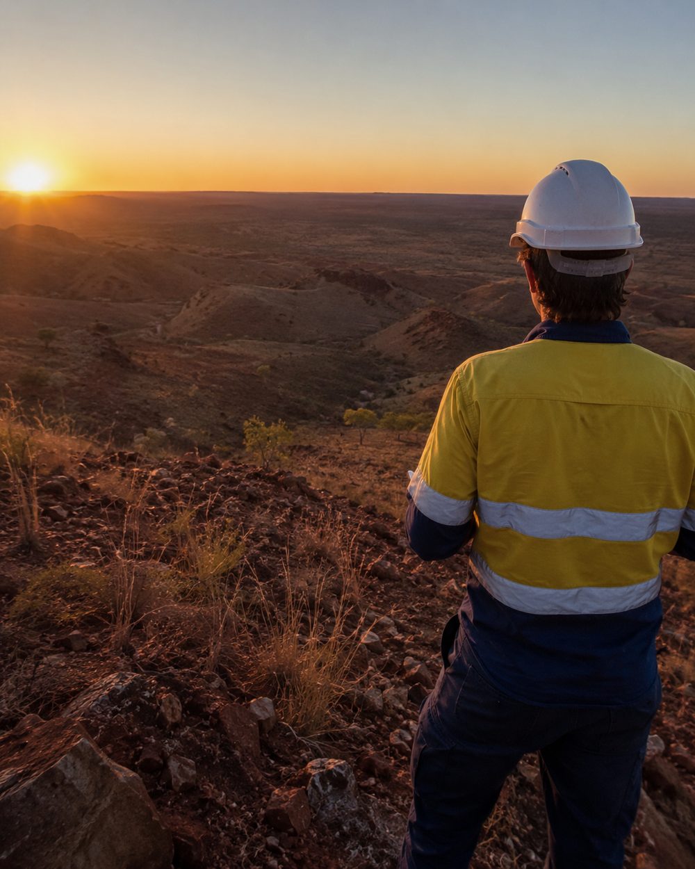
We give onshore oil and gas operators a connected view of their fields, so they can decide what is worth developing, plan well closures years ahead, and know their methane before they're asked about it.
01 · The principals
Who you actually work with.
Principal
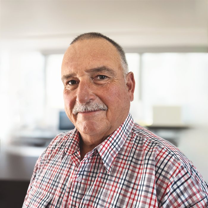
Greg Poole
Greg is a minerals geologist with over 40 years of hands on experience across Australia, South Africa, China, India and Poland, in coal and gas exploration, development and production.
He has led teams from startups through to BHP Billiton. Recent roles include GM Gas Utilisation at WDS Limited, Asset Leader at Molopo Energy, and Manager of Exploration and Gas Utilization at BHP Billiton.
He is still active in gas research through ACARP, working on underground coal mine gas drainage.
Technology Strategist and co-founder
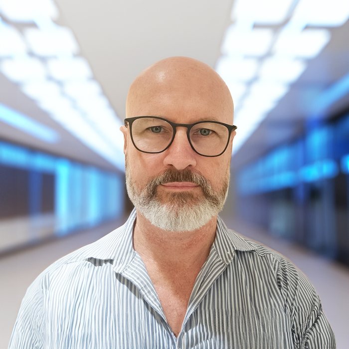
Geoff Osborn
Geoff has 25 years turning complex resource problems into systems that hold up in the field. Workflow, architecture, and knowing which technology is worth the trouble.
He co-founded Peregrine GeoServices, KEGS for gas gathering network engineering (KEGS became DEKS), and Virtuweather for weather visualisation.
He drove the development of DEKS, the decision layer our assessments centre on, and Methlab, the satellite methane work behind Methane Intel.
02 · The team
The rest of the bench.
-
Tom Bothwell
Senior Geologist
20 plus years leading teams across the project lifecycle, in both hard rock and hydrocarbon exploration. Runs data acquisition teams in difficult environments.
-
Phil Skeet
Senior Geologist
15 plus years across mining, oil and gas and project development. Heavy on stakeholder engagement, community groups and government bodies.
-
Ronan Taylor-Ware
Senior Operations Geologist
Planning, execution and real time monitoring of drilling operations. Well planning automation and operational support for P&A, workovers, drilling and seismic. Sydney and Bowen Basins.
-
Sandy Neilsen
Land Liaison Officer
A diverse background encompassing agriculture, customer service, conflict resolution, negotiation, business administration, relationship management and external stakeholder engagement.
-
Eric Henry
GIS Engineer
30 years in the resources industry turning geographic data into maps people actually use. ArcGIS, MapInfo, QGIS.
-
Alex Melnyk
Software Engineer
15 years across JavaScript, Python, Java and SQL. Specialises in GIS, graph theory, data visualisation and optimisation.
-
Pat Hannah
Corporate Consultant Coal Geologist
45 plus years in coal geology, exploration and evaluation across Australia and Indonesia. Drilling programs, due diligence, technical auditing and coal resource reporting.
03 · Where we work
Brisbane, and the basins.
Based in Fortitude Valley, working the Queensland and New South Wales resource basins. Surat, Bowen, Taroom Trough.
Safer Together accredited.


GeoSynergy
GeoSynergy is our research side. The technical work behind the methane detection, the satellite processing methods and the published analysis carries the GeoSynergy name.
Same people, same office. It is where the method development happens before it becomes something you can buy.
Worth a conversation?
Tell us what you are trying to decide. If we are not the right fit we will say so, and probably point you at who is.